Beaches in and around the Vendée
Pornic
Noirmoutier
St Gilles Croix de Vie
St Jean de Monts
St Gilles Croix de Vie
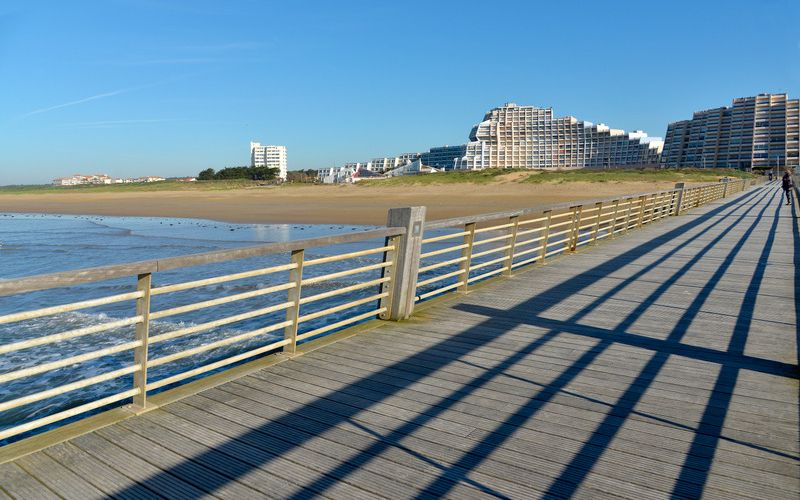
It was created in 1967 from the unification of two municipalities located on either side of river of the Vie: Saint-Gilles-Croix-de-Vie and Croix-de-Vie.
Renowned for its important fishing port specializing in sardines, Saint-Gilles-Croix-de-Vie has also been classified as a seaside resort since 1982.
The Vendée corniche connects the “Boisvinet beach” to Sion-sur-l’Océan into the municipality of Saint-Hilaire-de-Riez.
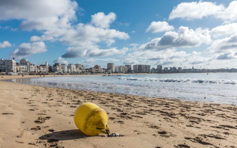
Les Sables d’Olonne
t is the main town on the “Côte de Lumière”, a seaside resort, fishing, commercial and pleasure port. The town has two casinos and hosts the Vendée Globe every four years.
St Jean de Monts
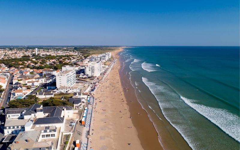
The town is located between Notre-Dame-De-Monts and Saint-Hilaire-De-Riez. It is separated into two parts by a pine dune extending from north to south along the coast, constituting a part of the Pays de Monts forest, which extends continuously for 25 km from north to south, from La Barre de Monts to Saint-Hilaire.
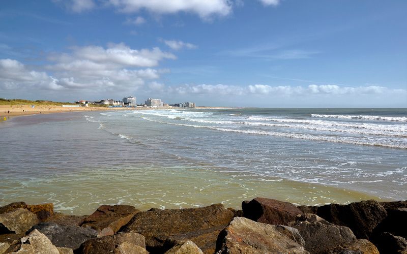
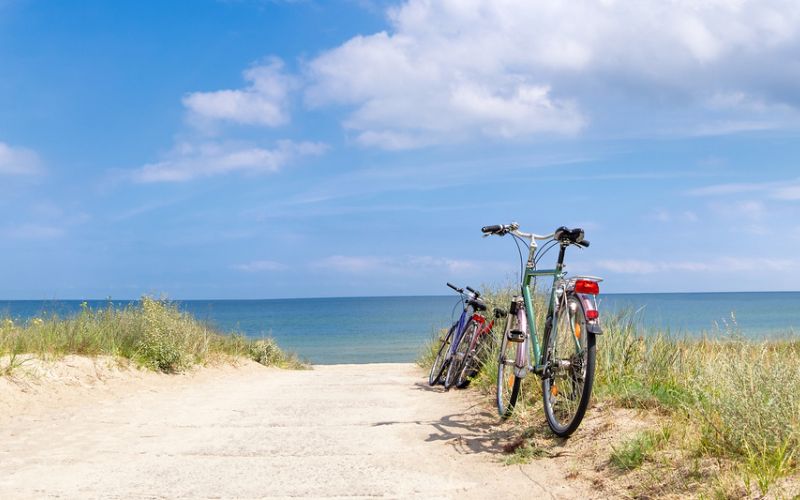
The seaside resort of Saint Jean de Monts is famous for its long, eight-kilometer stretch of fine sand beach. It is a family-friendly beach with numerous shops, cafes, and restaurants, as well as an old part of the town with its church and covered market where local products can be found. In the forest, there are bike paths, sports courses, and an excellent golf course.
Pornic
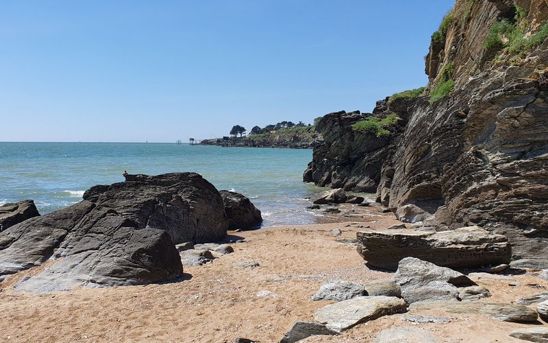
Pornic is located in the department of Loire-Atlantique, on the edge of Bourgneuf Bay, 45 km southwest of Nantes and 20 km south of Saint-Nazaire. The city is known for its castle and its old port. Its main resources are, at the beginning of the 21st century, tourism and seafood products. Pornic is also appreciated for its pottery, its casino, its thalassotherapy center, and its 18-hole golf course.
The Island of Noirmoutier
She is connected to the mainland by a submersible causeway called the Gois and, since 1971, by a bridge. Its length of the island is approximately 18 km.
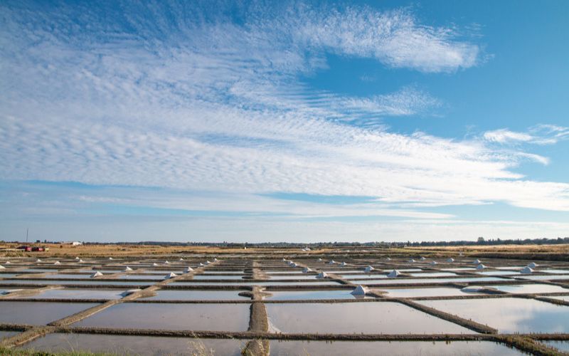
The island is often nicknamed the “mimosa island” for its mild climate that allows mimosas to grow and bloom there in winter. Its dominant landscapes are salt marshes, dunes, and forests of evergreen oaks. Read more.
L’Ile d’Yeu
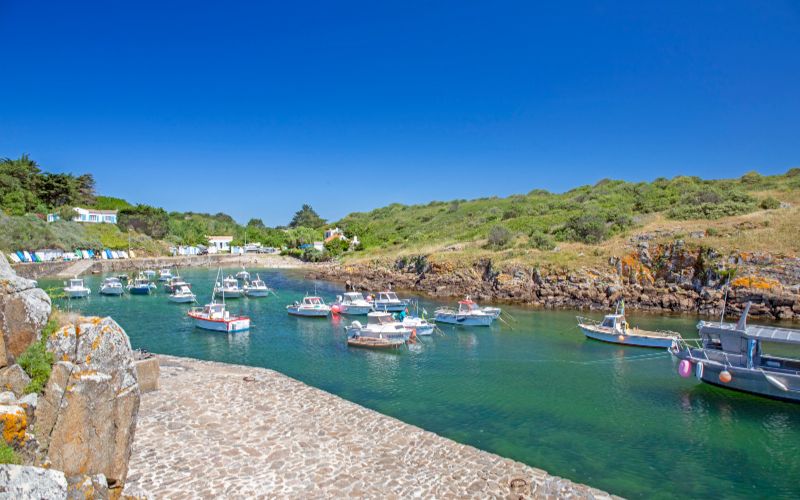
The main island is located about twenty kilometers from the mainland. It is accessed by boat through the pier located in Fromentine. The island has two distinct sides:
The eastern coast is sandy and green, similar to the one found on the Vendée coast; Port-Joinville is located on this coast.
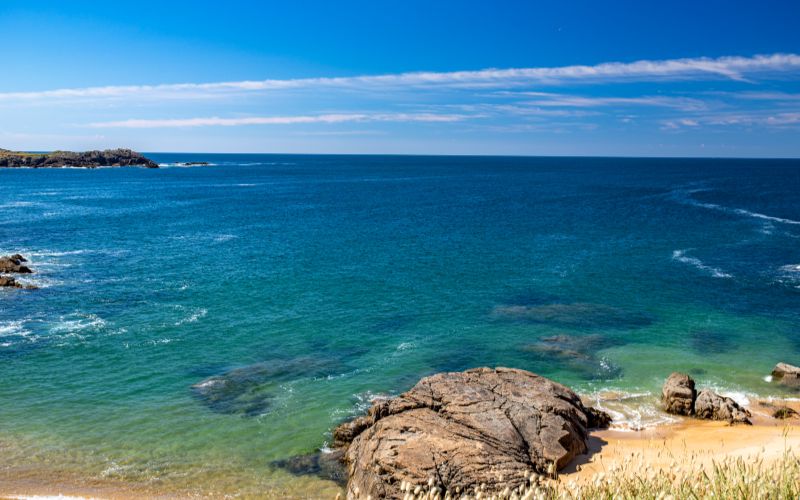
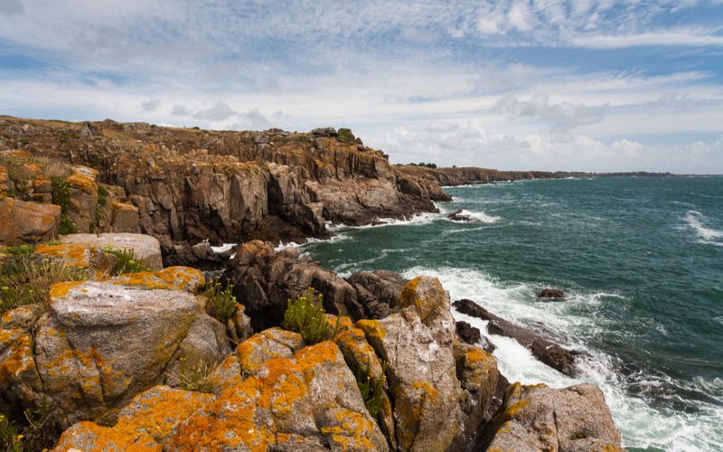
The western coast is a rocky granite “wild coast” with coves and cliffs. The highest point is located between the Vieux Château and the Cap des Degrés; it rises up to 31 meters.
